

Washington State Wildfires Near Spokane: Evacuation Updates
This article was updated Monday, Aug. 3, 2026. Fire figures below come from Washington DNR incident entries last updated between 7:30 and 7:35 a.m. Sunday, Aug. 2, and have not been independently refreshed since publication. Confirm current status through the sources linked below before making any evacuation or travel decision.
Washington State wildfires near Spokane have pushed three fires into Level 3 "Go Now" evacuation status, according to the Washington DNR Wildfire Portal. Old Trails, Fairview, and Autumn Lane all carry that designation in DNR's listings, which direct residents to confirm their address against Spokane County's evacuation information rather than judge risk by fire size or containment percentage. A fourth nearby fire, Hudspeth, carries no such evacuation reference in DNR's public listing.
DNR lists Old Trails, Fairview, and Hudspeth at 0% containment as of Sunday's updates. Autumn Lane's containment figure could not be confirmed for this report, because that entry contains conflicting timestamps, explained in detail below (Washington DNR Wildfire Portal).
The fires are burning against a statewide backdrop. Two days ago, Gov. Ferguson declared a statewide wildfire emergency and issued a statewide burn ban, citing drought conditions, unusually high temperatures, and high winds behind what the state calls "record-setting wildfires" (Washington DNR Wildfire Portal).
Residents tracking Washington wildfire evacuation orders near these fires in eastern Washington should verify their address through Spokane County's evacuation information now, before smoke becomes visible near their property.
Fire-by-fire updates: Washington State wildfires near Spokane
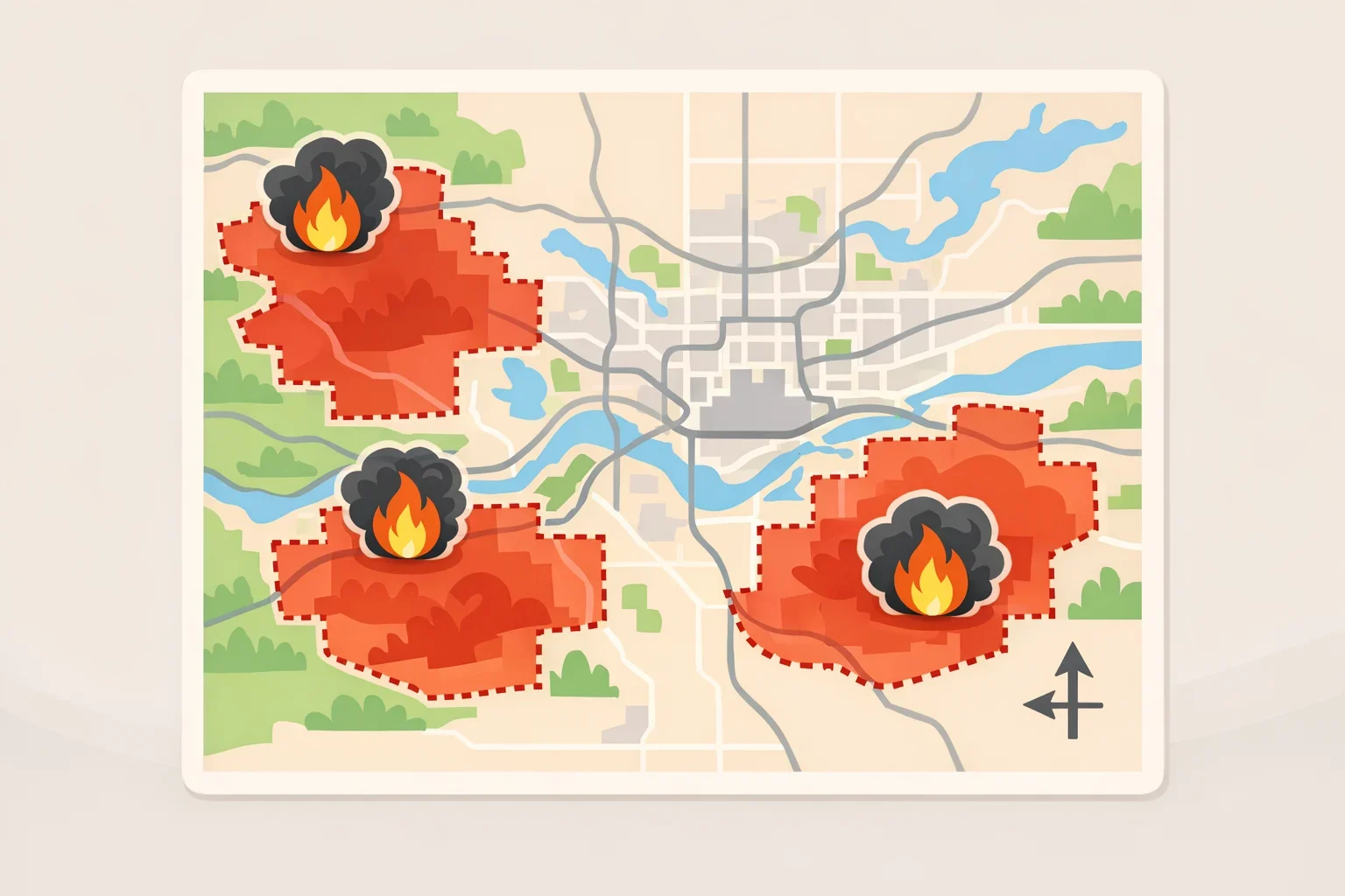
DNR's incident tracker lists four fires burning in and around Spokane County, each on its own update schedule and each carrying different evacuation language. Here's what these Spokane area wildfire updates showed for each fire as of its most recent posted entry.
Fire Location Acreage Containment Last DNR update Evacuation status Old Trails Northwest of Spokane 3,500 acres 0% 7:30 a.m., Aug. 2 Level 3 evacuations listed; check evacuation areas through Spokane County Fairview South of Mead 981 acres 0% 7:35 a.m., Aug. 2 Level 3 evacuations listed; check evacuation areas through Spokane County Hudspeth About 3 miles southeast of Hunters 4,211 acres 0% 7:30 a.m., Aug. 2 No Spokane County evacuation reference listed Autumn Lane About 4 miles west of Nine Mile Falls 3,333 acres (unconfirmed) 0% (unconfirmed) Listed as 1:15 p.m., Aug. 1 Level 3 evacuations referenced; check evacuation areas through Spokane County
Source: Washington DNR Wildfire Portal
DNR lists Old Trails at 3,500 acres, compared with Fairview's 981 acres; Autumn Lane's listed 3,333 acres remain unconfirmed for the reasons described below. Old Trails' listing shows multiple ground and air resources engaged on scene (Washington DNR Wildfire Portal).
Fairview is smaller in acreage but carries the same Level 3 reference and the same instruction to verify status through the county. Its listing shows multiple ground resources engaged, with no air resources noted (Washington DNR Wildfire Portal).
Hudspeth is the largest fire on this list by listed acreage, at 4,211 acres, but its DNR entry does not include a Spokane County evacuation reference the way the other three do. That omission doesn't by itself confirm evacuation status for the area. Residents near Hunters should check local emergency information directly rather than assume anything from what the listing leaves out.
Autumn Lane needs a separate note. DNR's listing shows a "last update" timestamp of 1:15 p.m. on Aug. 1 that comes before its own "first reported" timestamp of 3:33 p.m. that same day, an inconsistency in the state's own record.
That means the 3,333-acre figure and the 0% containment number attached to Autumn Lane haven't been confirmed as current, even though the listing still references Level 3 evacuations and describes erratic, shifting winds. Residents near Nine Mile Falls should check Spokane County's live evacuation information and follow whatever order applies to their address, while treating Autumn Lane's acreage and containment figures as unconfirmed until DNR corrects or clarifies the timestamps.
DNR is tracking these as four separate incidents, each with its own update time, assigned resources, and evacuation language.
What to do if you're in or near an evacuation zone

DNR's listings show Level 3 evacuations in place for Old Trails, Fairview, and Autumn Lane, the latter pending the timestamp issue above, and direct residents to verify status through Spokane County (Washington DNR Wildfire Portal). The incident entries reviewed for this report don't identify specific addresses inside an active zone; that confirmation has to come from the county's own evacuation information, alert system, and road-closure updates.
Fire acreage and containment percentages describe fire behavior. Residents should follow the current evacuation direction for their address rather than infer personal risk from a fire's size or how contained it is.
A few practical steps for anyone near these fires:
- Confirm your address against Spokane County's current evacuation information rather than judging risk by a fire's acreage.
- Sign up for county emergency alerts now, before conditions change.
- Leave immediately if your zone is under a Level 3 order. Don't wait for visible smoke or flames.
- Check road-closure information through Spokane County or DNR channels before traveling near any of these fires. This report didn't locate a single confirmed closure list covering all four incidents, so verify with whichever agency manages the specific road you plan to use.
Anyone considering outdoor recreation near Nine Mile Falls, Mead, or Hunters should check current closure pages directly through DNR, the Washington Department of Fish and Wildlife, or the U.S. Forest Service before traveling into those areas, and confirm status again shortly before heading out.
Spokane County wildfire homes destroyed: what the official record doesn't yet show
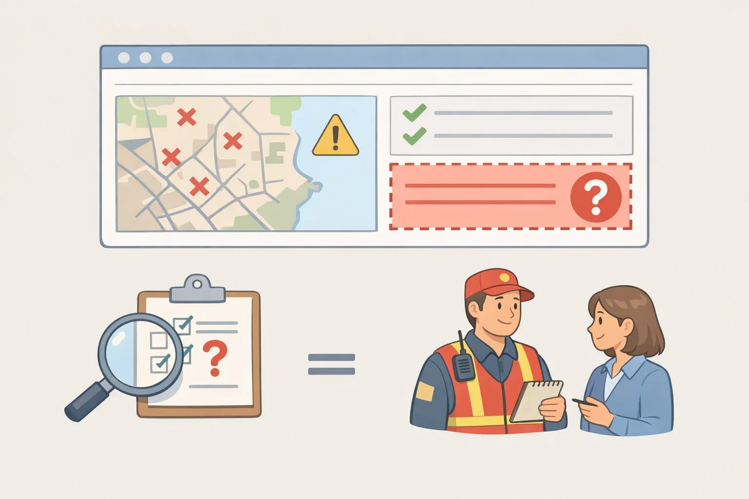
No structure-loss count appears in the four DNR incident entries reviewed for Autumn Lane, Old Trails, Fairview, or Hudspeth (Washington DNR Wildfire Portal).
The entries confirm that Level 3 evacuation references exist for specific fires. They don't state how many residents or households fall inside those zones, at least not within the incident entries reviewed for this report.
That's a limitation of what these four DNR entries show right now, not a claim about whether that information exists elsewhere. Any number circulating about homes destroyed or people displaced in connection with these fires should be treated as unconfirmed until it's attributed directly to Spokane County emergency management, a local fire district, or incident command.
The clearest next step: confirm your address against Spokane County's evacuation information first, then check the Washington DNR Wildfire Portal for acreage and containment changes on Old Trails, Fairview, Hudspeth, and Autumn Lane. Treat every figure above as a snapshot from Sunday, Aug. 2, until an official update replaces it.